DroneDrone and aerial photography in Boise, IdahoPart 107 · Shot + edited by me
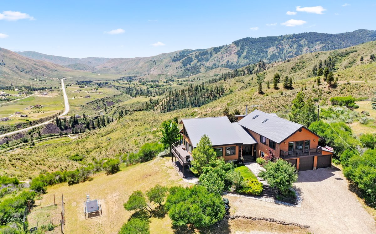
From the air you see what a photo from the driveway can't: the home with its yard and its view, acreage with its boundary, and the neighborhood around it. I'm an FAA Part 107 certified remote pilot based in Boise, Idaho, and I fly FPV and camera drones. More flights are on my YouTube channel, @Anon_FPV.






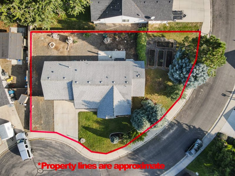 Lot lines


Flights


From the air
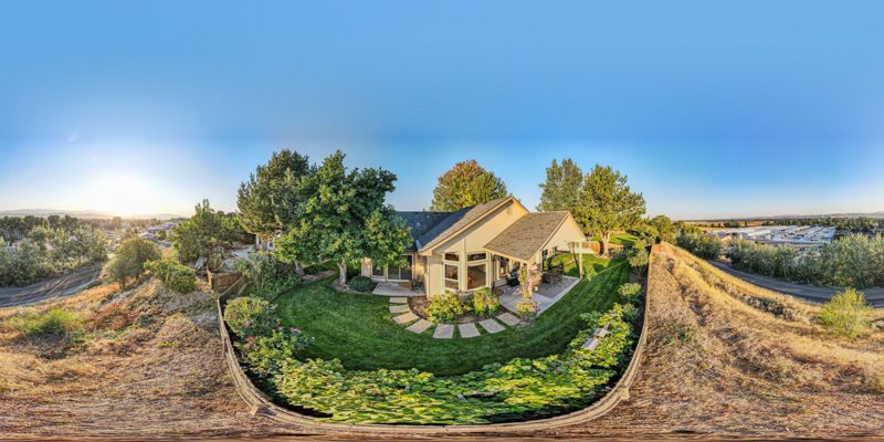 Aerial 360

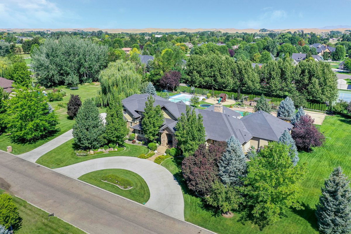


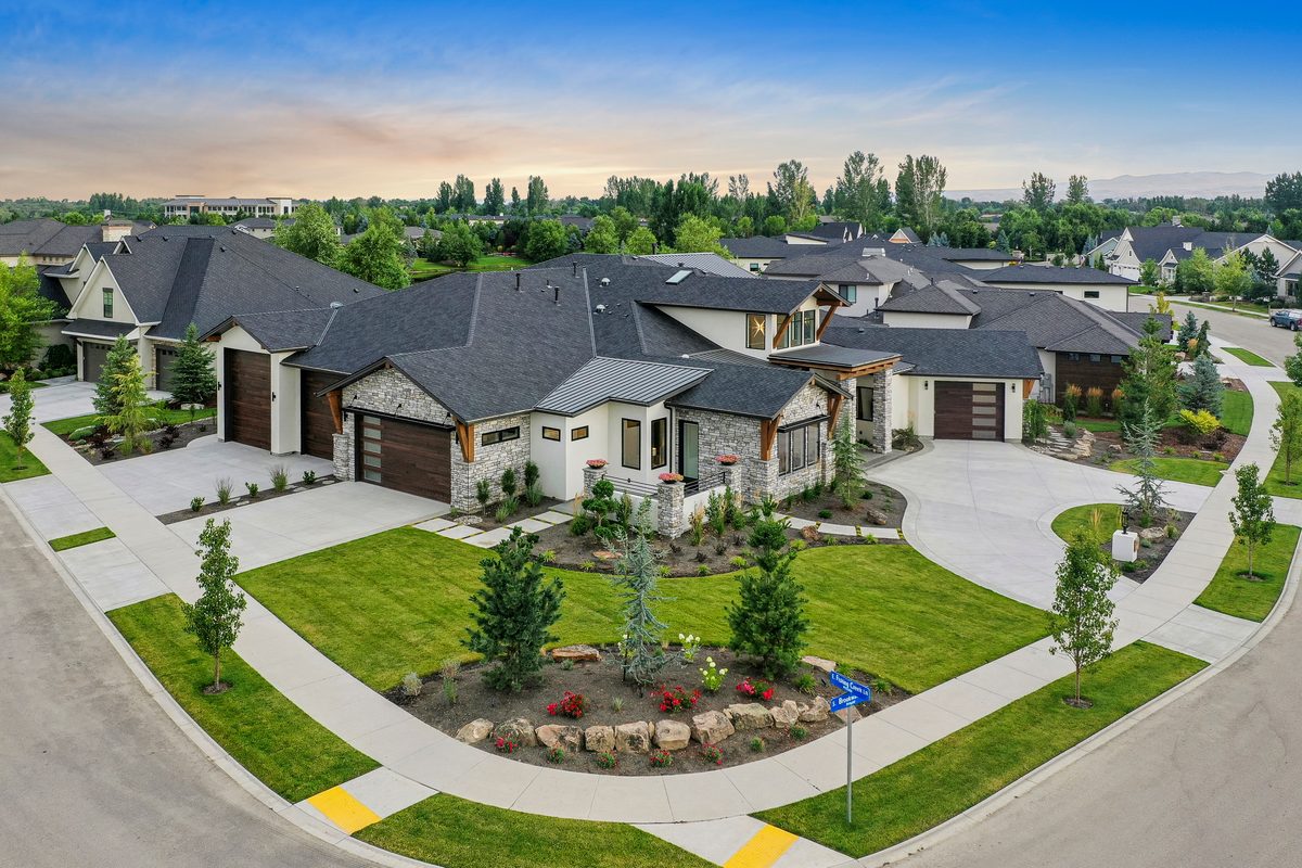


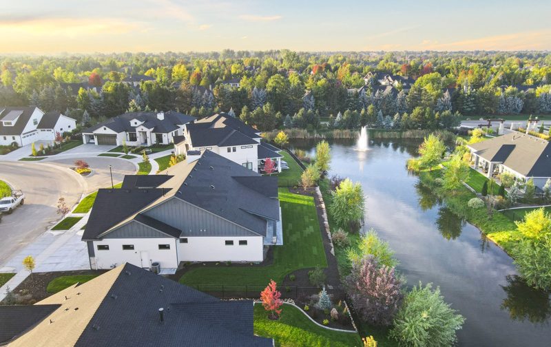 Neighborhood photos

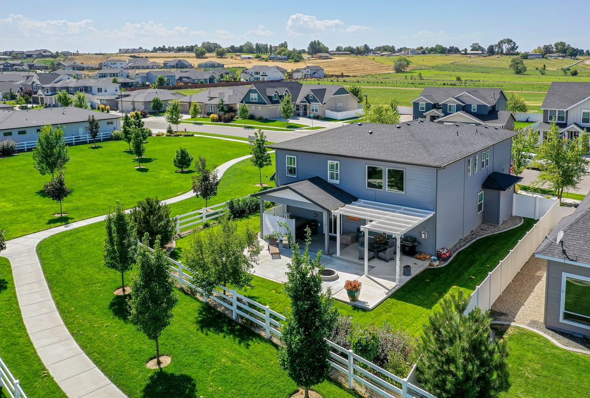


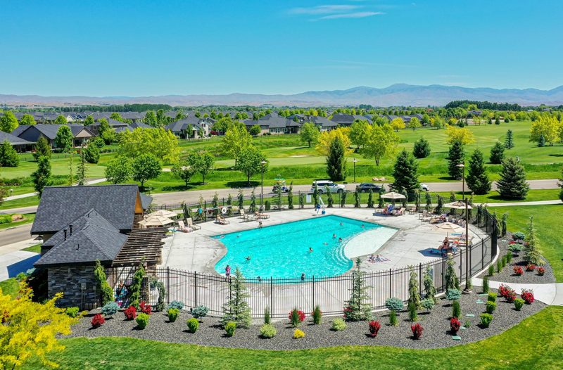 Neighborhood photos


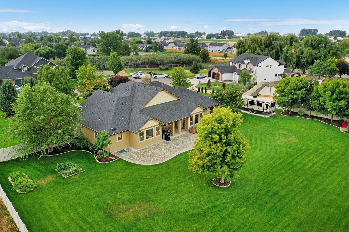

What you can order
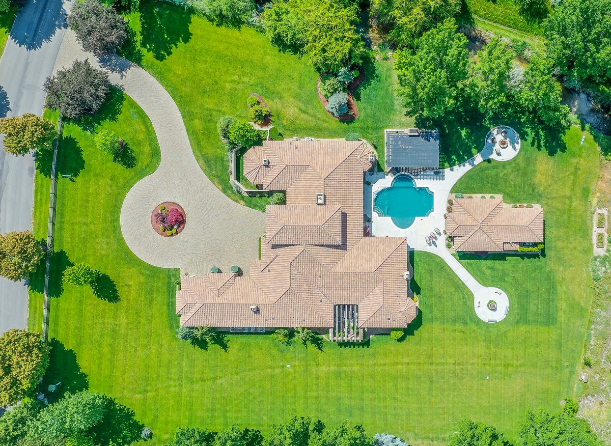
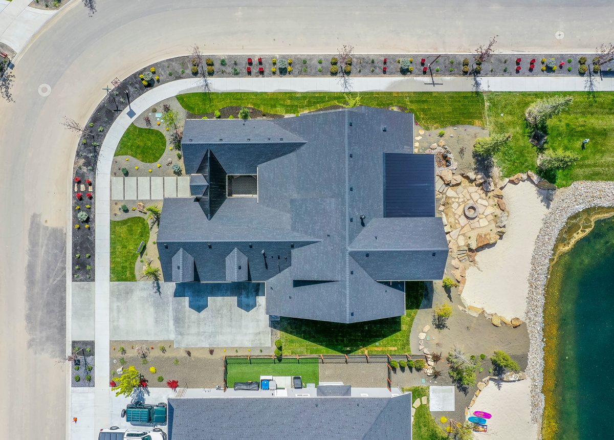
Oblique and top-down aerials
The home, the lot and what's around it, from oblique views to straight top-down.
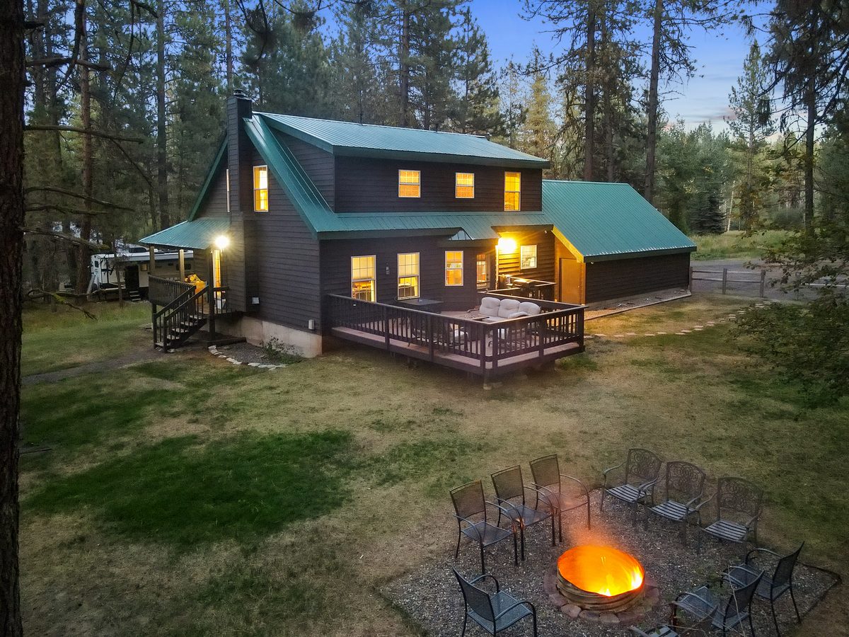
Dusk aerials
The home lit up against the evening sky, for listings that deserve a hero shot.
Lot lines
The property boundary drawn on the drone photos, for acreage, large lots and land listings.
Aerial 360
An interactive 360° view from above the property: drag to look around the lot and the area.
Neighborhood photos
Nearby parks, trails, downtown and HOA amenities: the things that sell the location.
FPV flythrough and property film
One continuous flight through the home, or a full film of the property. See the add-ons.
Questions
Do you need permission to fly a drone in Boise?
I'm an FAA Part 107 certified remote pilot, the certificate the FAA requires for commercial drone work. Parts of Boise and the Treasure Valley sit in controlled airspace around Boise Airport, so I check the airspace before flying and request FAA authorization where a location needs it.
Which areas do you cover?
Boise, Meridian, Eagle, Garden City, Star, Kuna, Nampa, Caldwell, Middleton and Emmett, and the rest of the Treasure Valley. Farther out in Idaho on request.
Do you do drone photos, video or both?
Both. Drone photos are quoted with the shoot, and so are the listing add-ons. For flights and films, see FPV and drone video.